

Geographic information system (GIS) Consulting
A Geographic Information System (GIS) includes all technical, information and know-how components needed to manage and exploit geolocated information.
GIS has become an essential tool for all organizations or structures working with localized information. GIS is a powerful tool for optimizing activities and meeting the growing need for sharing and cross-functionality.
GIS is in a state of flux, thanks to technological advances that are increasingly integrated into existing information systems or related business domains such as BIM, 3D or AI.
Technical skills
AXES Conseil has expertise in
ALL COMMERCIAL GIS AND MAIN OPEN-SOURCE SOLUTIONS
STANDARD RELATIONAL DATABASES AND THEIR GEO-SPATIAL COMPONENTS
WEB ARCHITECTURES AND WEB GIS COMPONENTS ON THE MARKET
Thematic skills
AXES Conseil is strengthening its expertise in the following business areas where GIS is used intensively

WATER &
WASTEWATER

ENVIRONMENT

ELECTRICITY
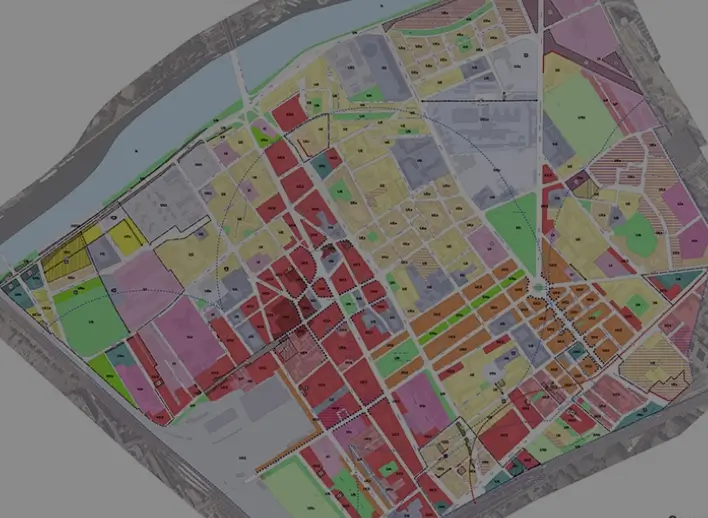
ZONING

ROADS
Regulatory skills
AXES Conseil follows and intervenes in the structuring dynamics of geographic information
- STANDARDS AND NORMS (OGC,…)
- DATA REGULATIONS (INSPIRE, OPENDATA, ETC.)
Organizational skills
AXES Conseil is involved in organizational projects, including the human dimension, such as
POOLING OF GIS ACTIVITIES
ORGANIZATION OF A GIS ENTITY
ARTICULATION BETWEEN THE GIS ENTITY AND IT DEPARTMENT
Project management skills
Inherent to the information industry, AXES Conseil has proven project management skills in

PLANNING

CHARGE

MANAGEMENT
Our services
In this fast-changing environment, AXES Conseil can help you with one or more aspects of a GIS project


